
As-Built Floor Plans for Facility Management: Keep Building Data Current
By Salar Kiabi, Founder, FIMIT · · 6 min read
Last reviewed
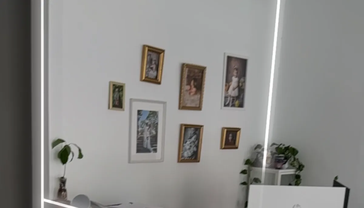
An as-built floor plan records how a building actually is today — not how it was designed years ago, and not how anyone assumes it to be. For facility management, that distinction is the difference between planning from reality and planning from a guess. Maintenance schedules, cleaning contracts, space planning, moves, fit-outs and compliance all depend on knowing true room sizes and current layouts — and that only works when your as-built floor plans reflect the building as it stands right now, not as it left the architect's office.
What an as-built floor plan actually is
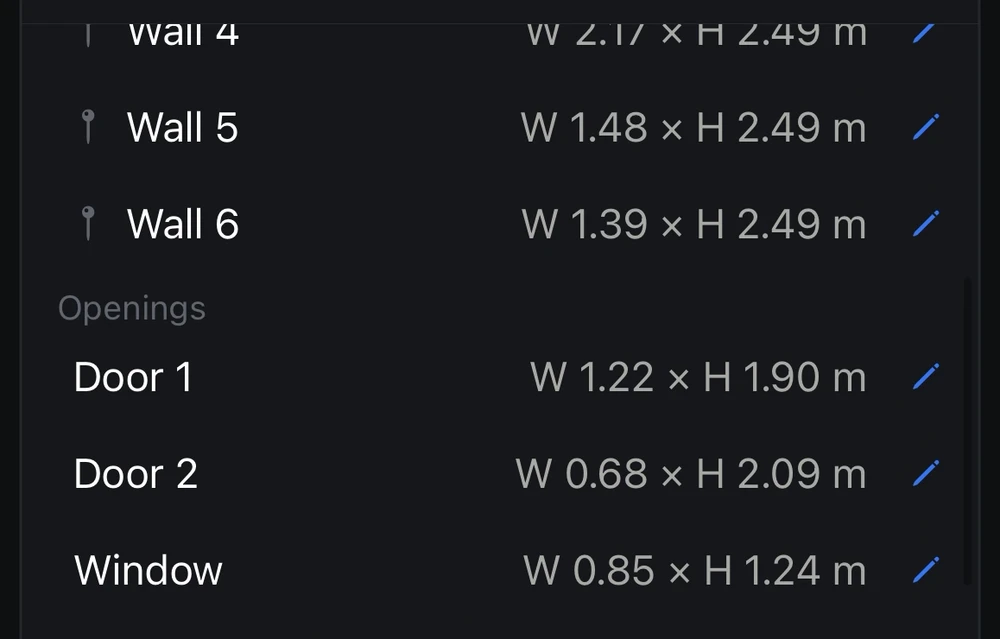
An as-built floor plan is a to-scale drawing of a space as it was actually constructed and currently exists, including every change made since the original design — moved walls, subdivided offices, boxed-in service risers, new partitions. It differs from an as-designed drawing, which only shows intent. For a facility team, the as-built is the version to plan, quote and budget against, because it is the one that matches what a contractor will find when they arrive on site.
Why as-built floor plans matter in facility management
- Plan maintenance and cleaning from accurate floor areas, not rounded estimates.
- Manage space, desk moves and fit-outs against the layout that exists right now.
- Give compliance, fire-safety and access audits an up-to-date picture of each space — alongside, not instead of, the certified documentation those audits formally require.
- Get accurate vendor and contractor quotes from real measurements, often without a site visit.
- Brief new team members and suppliers from one clear, current picture of each building.
The common thread is money and time. Every one of those tasks is either priced or scheduled against a floor area or a layout, and when that underlying figure is wrong the cost surfaces downstream — as a padded contractor quote, a maintenance visit that discovers the wrong dimensions, or a compliance gap nobody noticed until an inspection. Accurate as-built floor plans are quietly one of the highest-leverage records a facility team can keep, because so many other decisions inherit their numbers.
The problem with old drawings
Original architectural drawings drift from reality the moment a building is occupied. Walls move, spaces are subdivided, fit-outs change the footprint and services get re-routed — and the drawings almost never keep up. The traditional fix is sending someone out with a tape measure or a laser distance meter, which is slow, error-prone and painfully hard to repeat consistently across a whole portfolio. So the drawings sit in a drawer, trusted a little less each year, until someone quotes a job from them and discovers the room is two metres shorter than the paper claimed.
How to capture an as-built plan with an iPhone
Recent iPhone and iPad Pro models include a LiDAR scanner that records the geometry of a room as you walk through it. Using Apple's RoomPlan, a capture app turns that walk-through into both a to-scale 2D floor plan and a 3D model in minutes — no tape measure, tripod or return visit. Because the scan records the geometry as you cover the space, you are not measuring one wall at a time; walk every corner, opening and alcove, and the dimensions you captured can be pulled from the model later.
- Walk the space slowly with a LiDAR-equipped iPhone Pro (12 Pro onwards) or iPad Pro, keeping walls, floor and doorways in view.
- Cover every corner, opening and alcove so the geometry is complete.
- Finish the scan; it uploads and processes into a 2D plan and 3D model automatically.
- Review the plan, read off floor areas, then export or share it with your team.
Accuracy you can actually defend
For as-built records, 'roughly right' is not the same as trustworthy. In good conditions an iPhone LiDAR capture is usually accurate to within a few centimetres, typically sufficient for space planning, maintenance scoping and keeping operational records current — though the figure varies with the device, room size, surfaces and how carefully you scan, so validate any critical dimension before you build or contract against it. What matters more is knowing how accurate a given scan is: the strongest tools characterise each scan — measuring its bias and noise against known references — so the floor area you plan and budget from is one you can stand behind, rather than a number you simply hope is right.
Tag glass walls, floor types and the details that matter
An as-built plan is far more useful when it carries the information your teams actually act on. FIMIT lets you tag surfaces directly on the model — glass walls that change cleaning and safety planning, floor types that drive maintenance and replacement costs, and other features a plain outline would miss. That turns an as-built plan from a bare shape into a working record: a cleaning contractor sees where the glazing is, and a maintenance planner knows which floor finish sits where, all from the same shared model.
This is where an as-built floor plan stops being a picture and starts being a database of a space. The tags travel with the plan, so the same record answers different questions for different teams instead of everyone re-measuring or guessing from a bare outline.
Export into the tools you already use
An as-built plan only pays off if it flows into your workflow. FIMIT exports a PDF for sharing and sign-off on every plan, and — on plans that include them — a downloadable 3D model (USDZ/GLB) for 3D work and a DXF that opens in 2D CAD, so plans move cleanly into the space-management, maintenance or design tools your team already runs. Floor areas are computed from the captured geometry, so the numbers you export match the building you scanned, not an inherited estimate.
One source of truth for your portfolio
FIMIT turns an iPhone walk-through into an accurate 3D model and a to-scale 2D floor plan, then organises every scan by building, project and room — so the right, current plan is always a click away for the whole team. Re-capture only what changed when a space is altered, and the record stays current without a survey crew. It is EU-hosted and GDPR-ready, with per-organisation isolation, making it a safe shared record across teams, contractors and clients — one place where every building's as-built floor plan is accurate, current and ready to work from.
Frequently asked questions
Do you need a surveyor to create an as-built floor plan?
Not for an operational record — a facility team can capture an as-built floor plan themselves using a LiDAR-equipped iPhone or iPad Pro, and Apple's RoomPlan turns the walk-through into a to-scale 2D plan and a 3D model in minutes. Where a lease, regulation or dispute demands a certified measured survey, that remains a job for a qualified surveyor — but for keeping day-to-day records current, you no longer need to commission one every time a room changes.
How long does it take to capture a building's as-built plans?
Most individual rooms take under five minutes to walk with an iPhone, and the plan and 3D model are generated automatically within minutes of finishing the scan. A whole floor is simply a matter of walking each space once — far faster than booking a survey crew and waiting days for drawings to come back.
What is the difference between an as-built drawing and a record drawing?
An as-built drawing and a record drawing are closely related: both document a building as it was actually constructed rather than as designed. 'Record drawing' is often the formal handover term, while 'as-built' is used more broadly for any up-to-date drawing of the real, current space that facility teams plan and quote from.
Can I open a FIMIT as-built floor plan in CAD software?
Yes — on plans that include CAD export, a FIMIT scan exports as a DXF file that opens in standard 2D CAD software, alongside PDF reports and downloadable 3D models (USDZ/GLB). Floor areas are computed from the captured geometry, so the measurements you open in CAD match the building you actually scanned rather than a stale drawing.
Sources and further reading
About the author
Salar Kiabi, Founder, FIMIT
Salar Kiabi is the founder of FIMIT, which turns a single iPhone LiDAR walk-through into an accurate, to-scale 2D floor plan and 3D model for property and facility teams. He writes about measurement accuracy, capture technique, and getting a floor area from a phone that you can actually stand behind.
Related reading
- How to Create a Floor Plan with Your iPhoneWalk any room with an iPhone and get an accurate, to-scale 2D floor plan and 3D model in minutes — no tape measure. Here is how iPhone LiDAR floor plans work.
- Floor Plans for Real Estate Listings: Why Serious Buyers Expect ThemA floor plan answers the questions photos cannot, so viewings are better qualified. What makes a great one, and how to make it from an iPhone.