
How to Build a Digital Twin of Your Building on a Budget
By Salar Kiabi, Founder, FIMIT · · 6 min read
Last reviewed
"Digital twin" sounds like a six-figure programme reserved for airports and stadiums. It does not have to be. For most facility teams, a useful digital-twin programme starts with something far more modest and affordable: an accurate, current 3D model and floor plan of each space — the spatial baseline everything else is layered onto. Your team can measure and work from it on day one, and you can start building it this month.
What a practical digital twin actually is
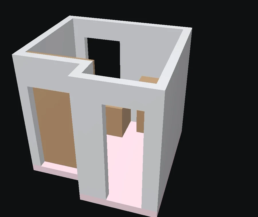
Strip away the marketing and a digital twin is a trustworthy digital record of a physical space that stays in step with reality — usually with other building data connected to it over time. To be precise: an accurate, current model is not the whole twin, it is the spatial baseline a working twin is built on. But that baseline is where the value starts — accurate geometry, reliable measurements, and a way to keep them current. Live sensor feeds and analytics can come later.
Start with geometry you can trust
- Capture each space as an accurate 3D model and a to-scale 2D floor plan.
- Compute real floor areas from that geometry, not from old drawings.
- Organise every capture by building, project and room so it is findable.
- Keep it current by re-capturing spaces when they change.
Why iPhone LiDAR changes the economics
The reason digital twins used to be expensive was capture: laser scanners, specialist crews and days of processing. LiDAR-equipped iPhones and iPads collapse that cost. Your own team can capture a space in minutes by walking it, and the cloud turns each capture into a model and plan automatically — so building the twin becomes a routine task, not a capital project.
Grow it one space at a time
You do not have to do the whole portfolio at once. Capture the spaces you touch most, or the ones you are about to work on, and let the baseline grow into a fuller twin over time. FIMIT is built for exactly this incremental approach: EU-hosted, GDPR-ready, organised by building and room, and captured with hardware your team already owns.
Frequently asked questions
How much does it cost to build a digital twin of a building?
Building digital twins were historically expensive because capture meant laser scanners and specialist survey crews. That has changed: a practical twin can start from LiDAR iPhone scans your own team captures, so the cost is largely the software and a few minutes per space rather than a major capital project.
Do you need special equipment to create a building digital twin?
You do not need a dedicated laser scanner or a survey crew — but you do need a LiDAR-equipped iPhone Pro (12 Pro onwards) or iPad Pro; standard, non-Pro iPhones lack the sensor whatever their model year. Your team walks each space, and the cloud turns the capture into a 3D model and floor plan automatically, using hardware many teams already own rather than specialist survey gear.
What is the difference between a digital twin and a 3D model?
A 3D model is a static representation of a space; a digital twin stays in step with reality as the building changes, and typically grows to link other building data over time. A current, accurate model is best understood as the spatial baseline of a twin — the foundation richer layers are added to — rather than a full twin by itself.
Can you build a digital twin without live sensors?
You can start one. Strictly speaking, a model without connected data is a spatial baseline rather than a full twin — but that baseline is where a practical digital-twin programme begins, and where much of the value sits: accurate 3D geometry, reliable floor areas and a way to keep them current. Sensors and analytics can be added later, once that foundation is in place.
Sources and further reading
About the author
Salar Kiabi, Founder, FIMIT
Salar Kiabi is the founder of FIMIT, which turns a single iPhone LiDAR walk-through into an accurate, to-scale 2D floor plan and 3D model for property and facility teams. He writes about measurement accuracy, capture technique, and getting a floor area from a phone that you can actually stand behind.
Related reading
- As-Built Floor Plans for Facility Management: Keep Building Data CurrentWhy as-built floor plans matter in facility management, how to keep them current without re-surveying, and how to capture them with an iPhone.
- Space Management Software: What to Look ForSpace management rests on accurate floor areas you can trust. The capabilities that actually matter when choosing software, and the data beneath them.
- Cut Site Visits with iPhone LiDAR ScanningEvery avoidable site visit costs a facility team hours. How capturing spaces once with iPhone LiDAR lets you measure remotely and quote without going back.